Rawandoz District
Rawandoz district lies in the north-east of Erbil Governorate, between the Korek and Hendren mountain ranges.
The city and region profile, statistics with sources, boundaries and natural features.
Rawandoz district lies in the north-east of Erbil Governorate, between the Korek and Hendren mountain ranges.
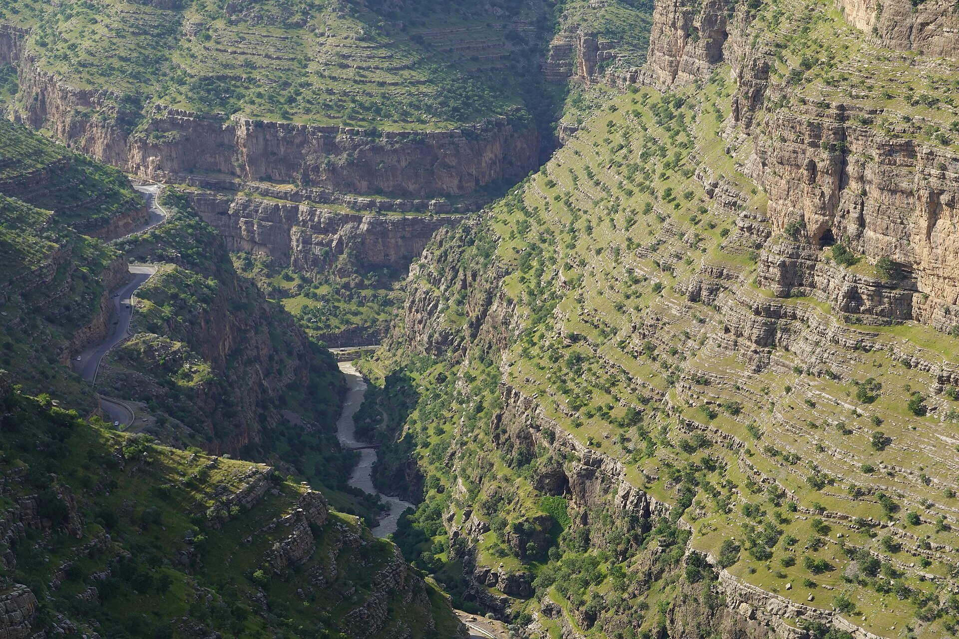
Rawandoz sits at roughly 1,000 m above sea level, surrounded by the deep Rawandoz gorge through which the Rawandoz river flows. Summers are cool and winters snowy.
Illustrative sample content; must be verified by historians before launch.
Each figure shows its source and date.
District, sub-districts, towns and villages.
Rawandoz district lies in the north-east of Erbil Governorate, between the Korek and Hendren mountain ranges.
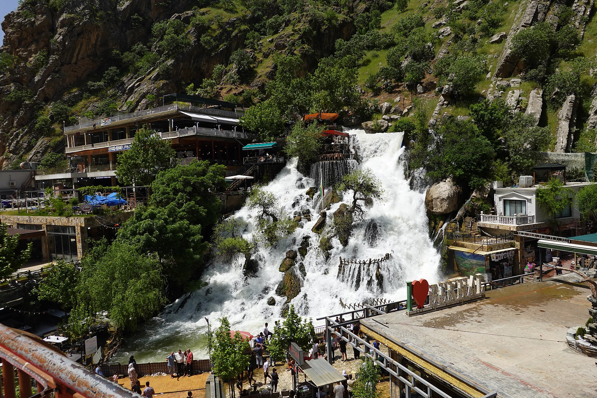
The tallest waterfall in the Kurdistan Region and Iraq, beside the Hamilton Road.
A striking spring-fed waterfall gushing from the rock face.
The famous road cut through the Rawandoz gorge by engineer Archibald Hamilton between 1928 and 1932.